What You'll Find in This Post
Quick Facts About Hiking in Florianópolis
- Top Trails: Praia do Gravatá, Dólmen da Oração, Lagoinha do Leste
- Difficulty: Easy to difficult
- Highlights: Lush rainforest, hidden beaches, panoramic ocean views, ancient stone alignments
- Access: Parking at trailhead or nearby, in lots & along the street; arrive via Uber/rideshare
Pro Tips: Visit the Dólmen of Prayer at sunrise for a mystical experience, and wear good shoes for slippery rainforest paths.
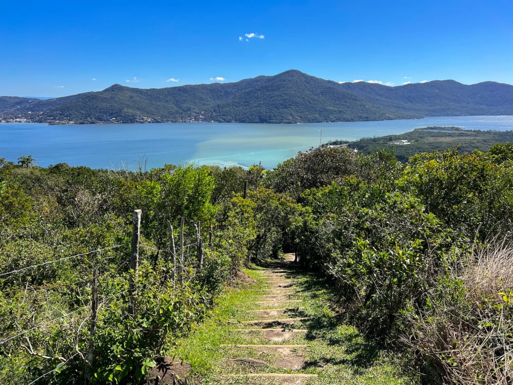
View from Dólmen da Oração
Disclaimer: This post contains affiliate links. If you book or buy through these links, I may earn a small commission at no extra cost to you. Thank you for supporting my blog!
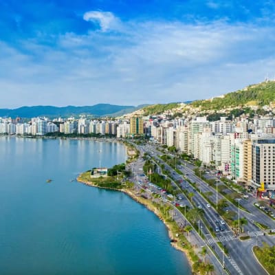
Dense rainforests, diverse wildlife, pristine beaches, and salty breezes: if this sounds like your thing, you'll love this underrated Brazilian gem. Welcome to Florianópolis, popularly known as 'Magic Island', Brazil's surfing capital, or often simply 'Floripa'. Encompassing Santa Catarina Island entirely plus a small slice of the mainland, it offers so many incredible hiking trails that deserve a spot on your bucket list.
Trails range from easy coastal strolls with panoramic views, to feeling like you’re lost in the middle of a rainforest while trekking a somewhat questionable path. A few even lead to secluded beaches where a refreshing swim awaits as a post-hike reward. Whatever adventure you're looking for, Floripa's got it. During our two-month stay we went on a new hike nearly every weekend, and still I can’t wait to go back for more.
This guide breaks down my personal favorite trails on the island, with practical info (like distance and parking), tips, and photos!
BEST Hikes in Floripa:
Trilha Praia do Gravatá
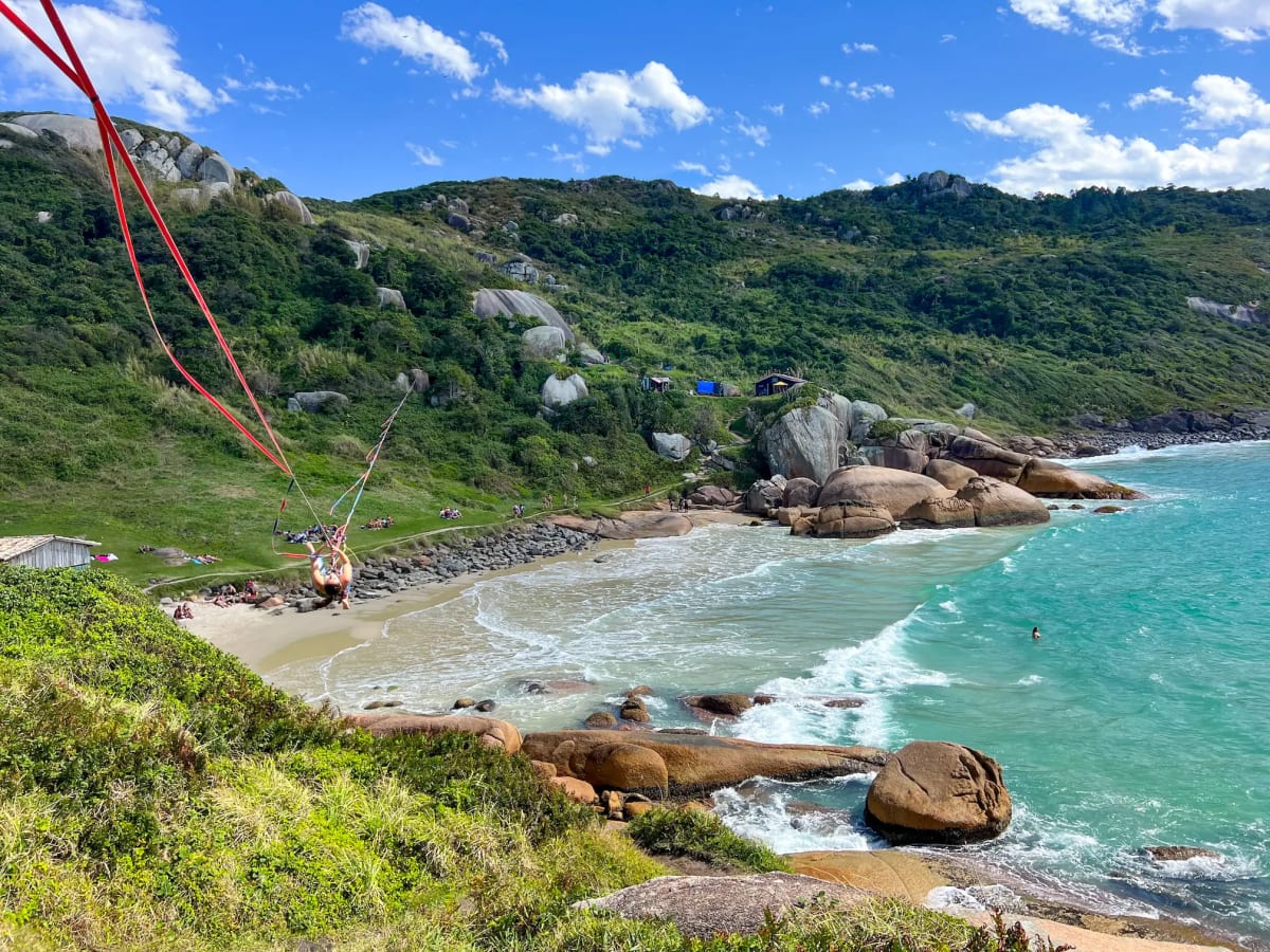
This scenic trail leads to a gorgeous Praia do Gravatá (Gravatá Beach) and is one of the top easy hikes in Florianópolis. Also known as Caminho dos Pescadores, trailhead is just off the road 'Rodovia Jornalista Manoel de Menezes' near Lagoa da Conceição. It starts as a long uphill concrete pathway that leads into the Atlantic Forest (there's signs to indicate it's the right place). At the top of the hill, as the trail levels out, there's a viewpoint on the left side overlooking the popular Praia Mole (Mole Beach). The viewpoint is slightly hidden, so be sure to look out for it!
The hike to Gravatá Beach takes around 40 min to 1 hour one way, depending on your pace and how often you stop to admire the view or take pictures. The initial uphill is the hardest part (but still easy), and once you reach the Mole Beach overlook, the trail is mostly flat before the descent towards the beach. You'll have views of the vast blue ocean and surrounding lush mountains, passing Gravatá plants—a spiky bromeliad species that thrives in the coastal forest and gives the beach its name—the whole way.
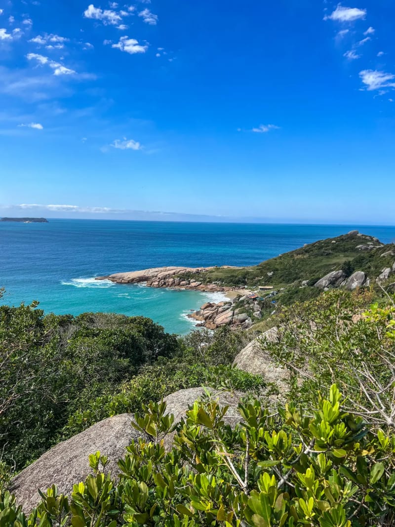
Upon arrival, you can swim, look for otters (they often hang out here), check out the rocky cliff-side views, and possibly watch the tightrope walkers before heading back. If you spot a fork in the trail, don't worry—they all lead to the same destination (beach or trailhead, depending on direction). The difference is the length: the shortest paths are nearest the ocean, while longer ones go a bit inland.
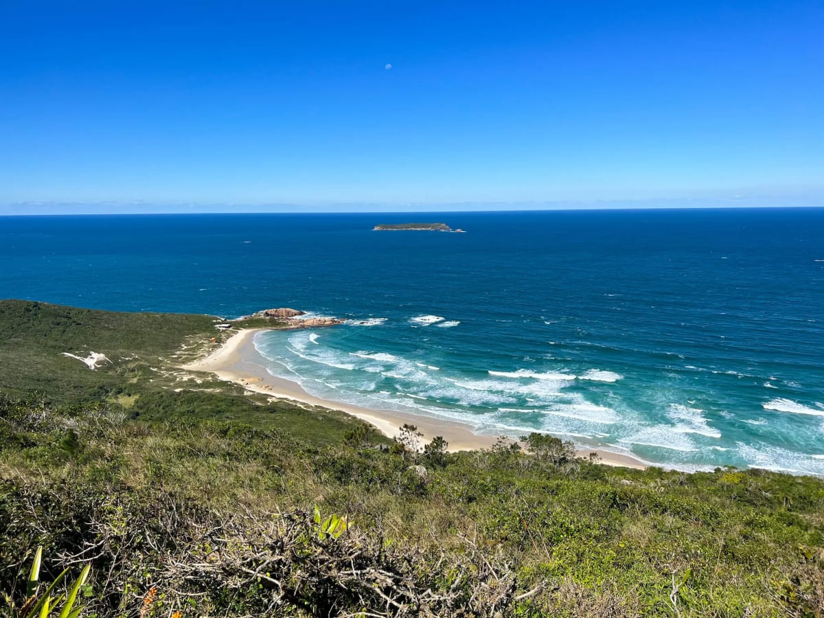
Trilha do Dólmen da Oração
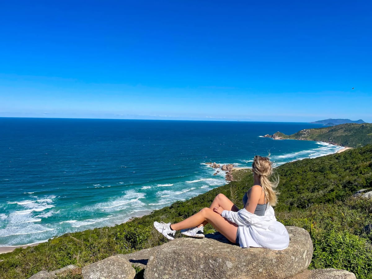
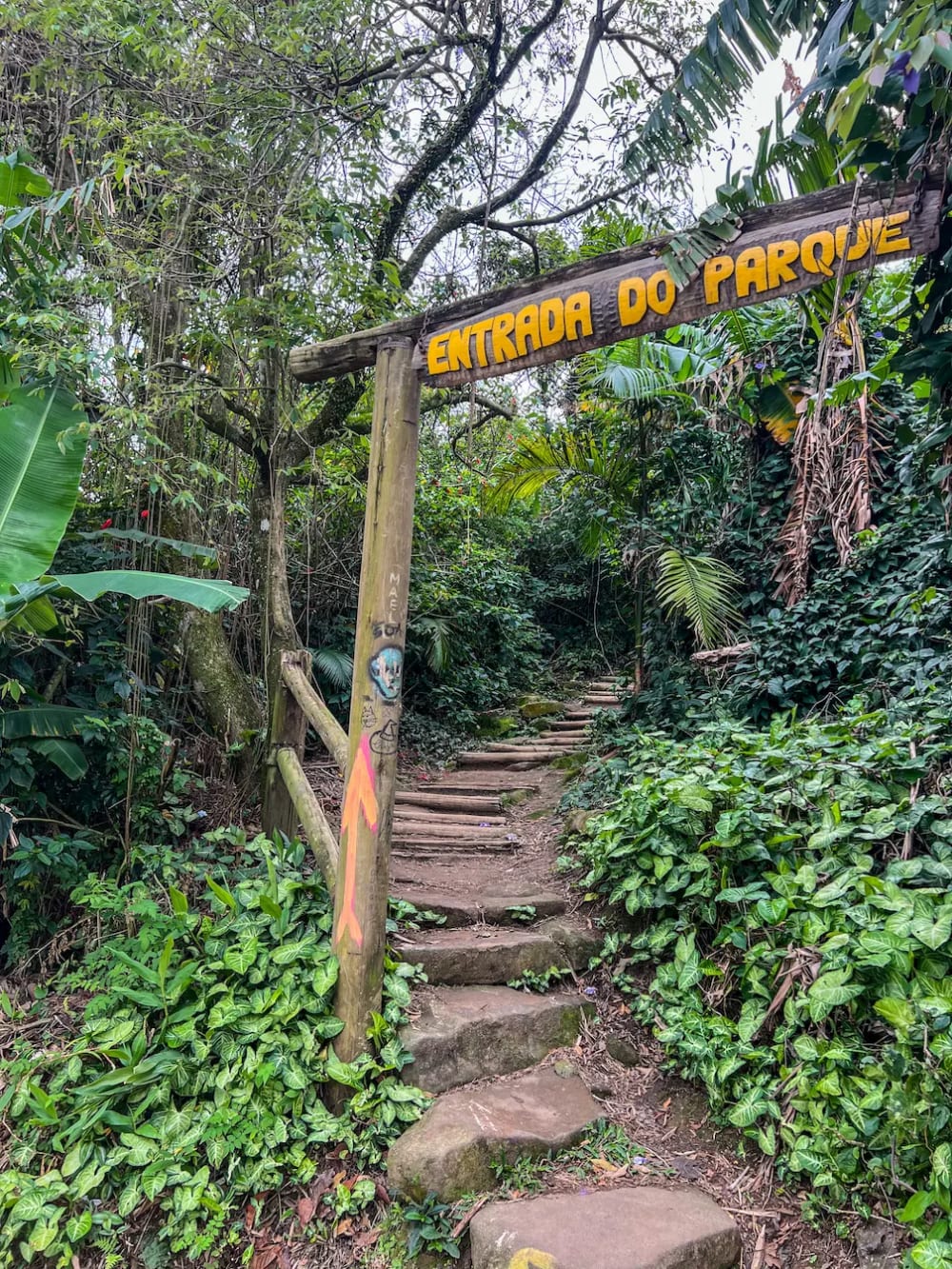
Trilha do Dólmen da Oração—roughly translated to the Prayer of Dolmen Trail—is the most mystical hike in Floripa (Santa Catarina Island is called the Island of Magic for a reason). You can begin from one of three points: the IMMA trail entrance (our accidental choice without knowing there were any other trailheads—it’s the easiest and fastest route), the Boa Vista Trail (the longest), or from Praia da Galheta (the most challenging).
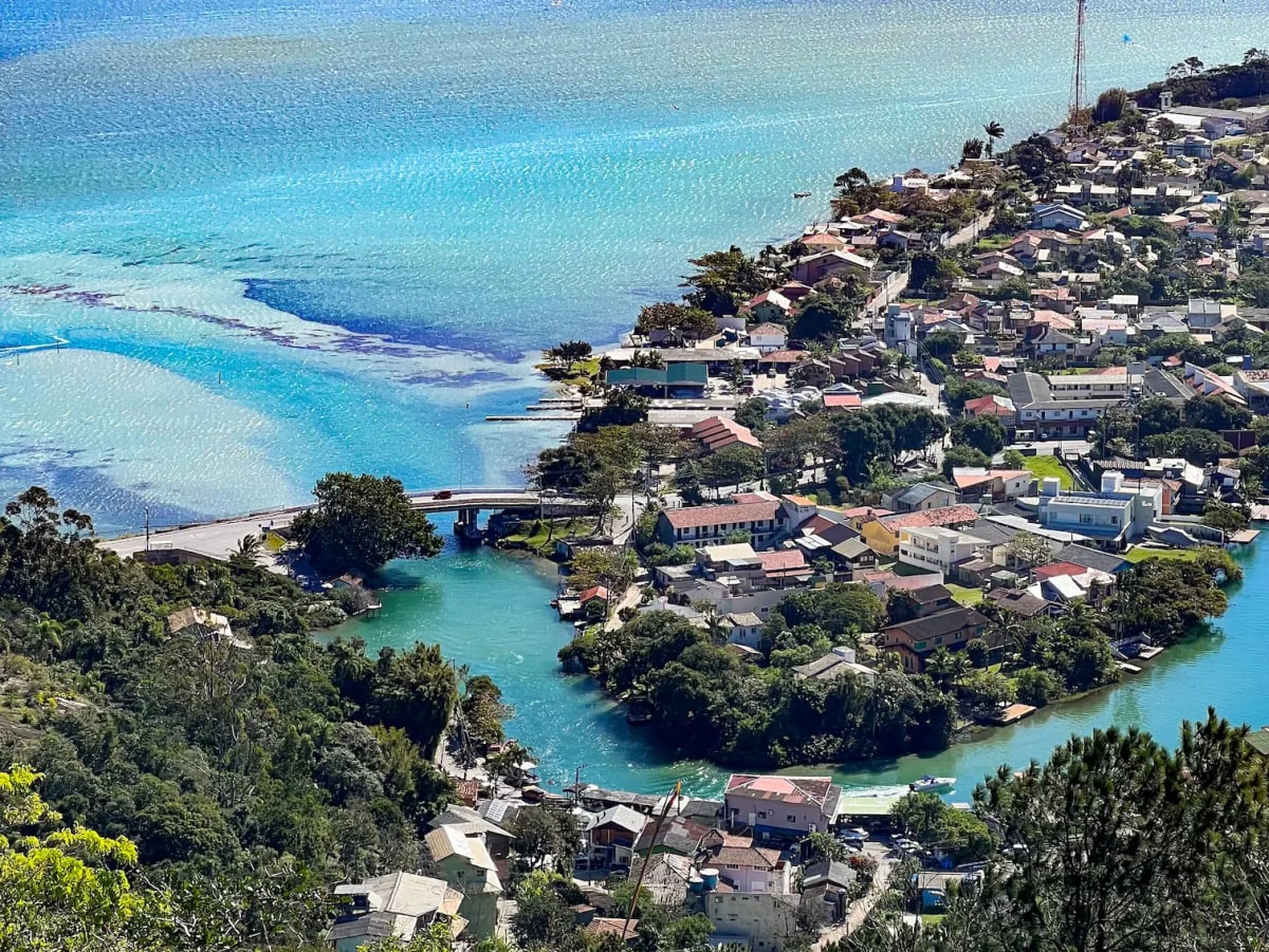
We began at the IMMA entrance, next to a small canal branching from Lagoa da Conceição. Managed by the IMMA Institute, there is a small maintenance fee of around R$25 (~$5 USD)—very much worth it. There's breathtaking views, including from a 360-degree platform overlooking Santa Catarina Island, and ancient energy to be discovered here.
The stones and the Dólmen of Prayer
At the top of the mountain you'll reach a sacred place. These ancient megalithic structures—called "networks of Christ", "Ley lines", or "nervous systems of the earth"—are placed together in such a way that they form of a network of astronomical calendars created thousands of years ago.
Three sets of stones serve as a star observation platform, marking the alignment of the sun at the beginning of the seasons: they perfectly align with the winter solstice, summer solstice, and equinoxes.
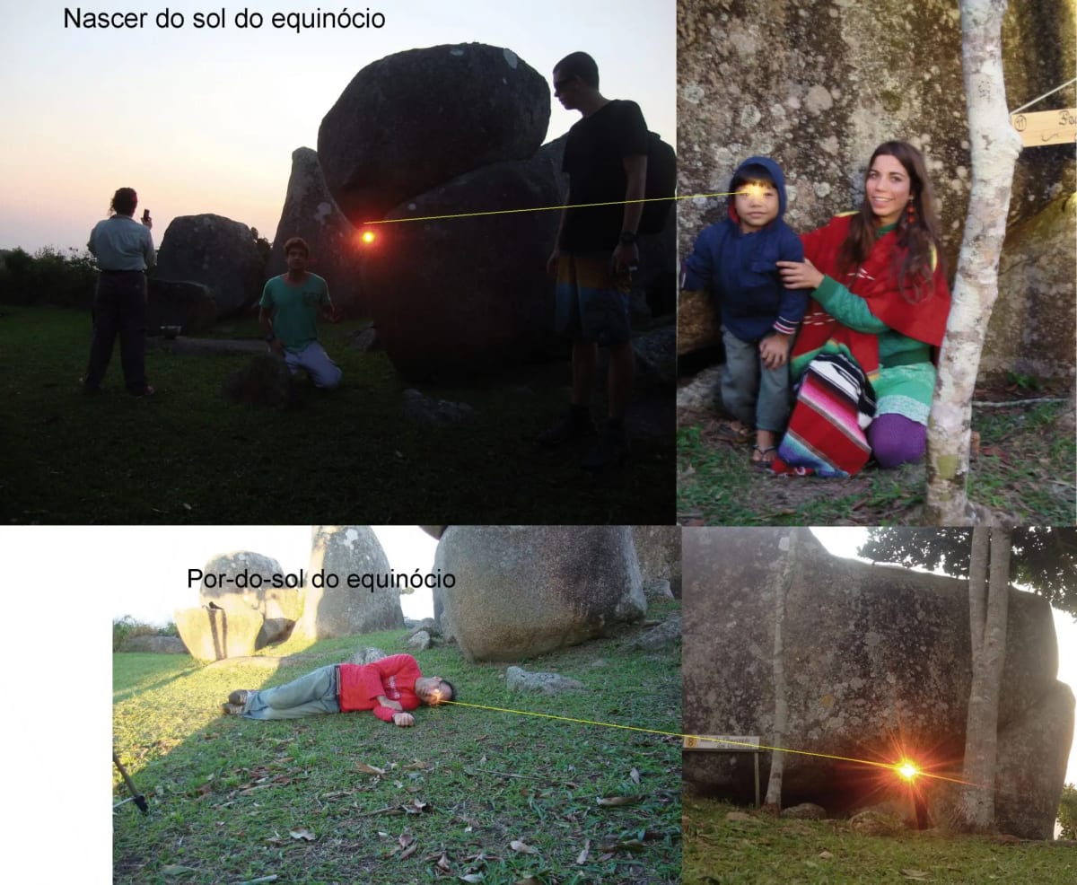
Image from the IMMA Institute Website (L-R: Equinox Sunrise, Equinox Sunset)
Another formation—a large stone set upon three smaller ones—has a viewing bed beneath it that allows you to see the sunrise and key stars of the tropics. The opening of the stones is a perfect viewing point for the Pleiades (the Seven Sisters star cluster), the Belt of Orion (a pattern of stars known as the Three Kings or Three Sisters), and Sirius (the brightest star in the Earth’s night sky).
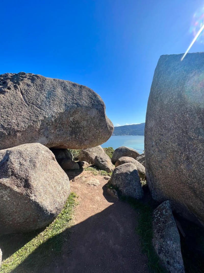
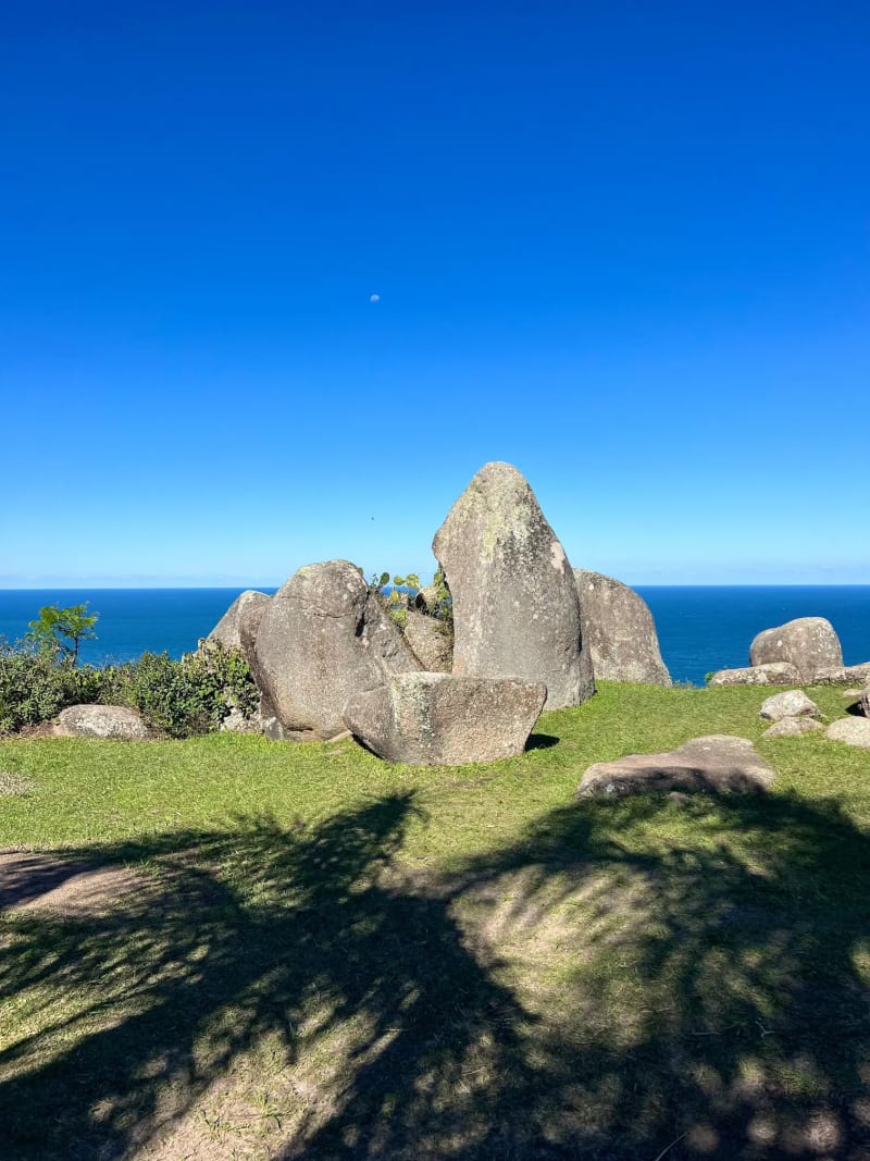
While you're up there, embrace the stone called the Menir Centra: it's hugged by visitors because it is said to emanate good and positive energies. In ancient times, daily life was regulated by astronomical activities, and these mountains served as sacred temples for connecting with deities. Many people have believed these sacred temples, formed with stones in the shape of altars, can be or have been portals to communicate with celestial beings. If you’re lucky, you might witness a spiritual ceremony at the top which, from what I’ve heard, happens fairly often.
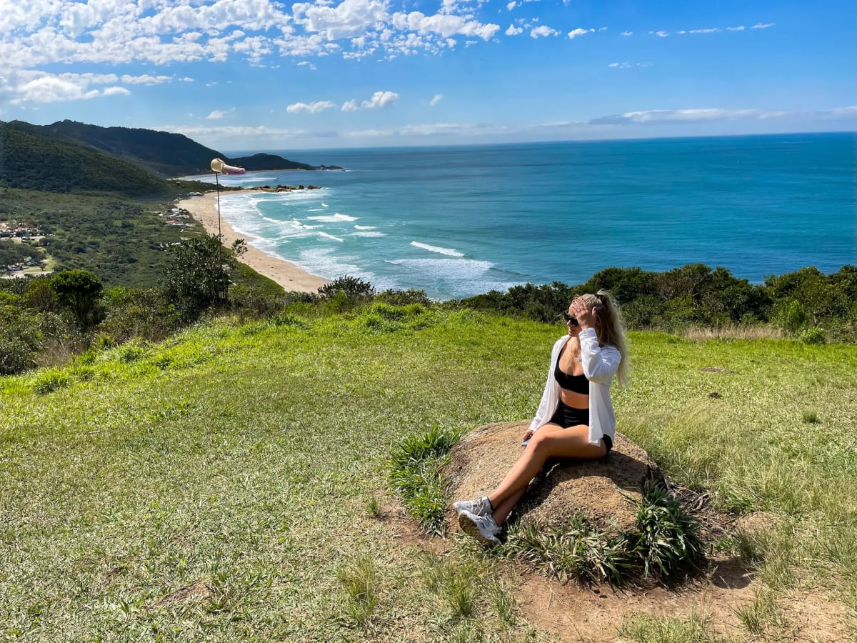
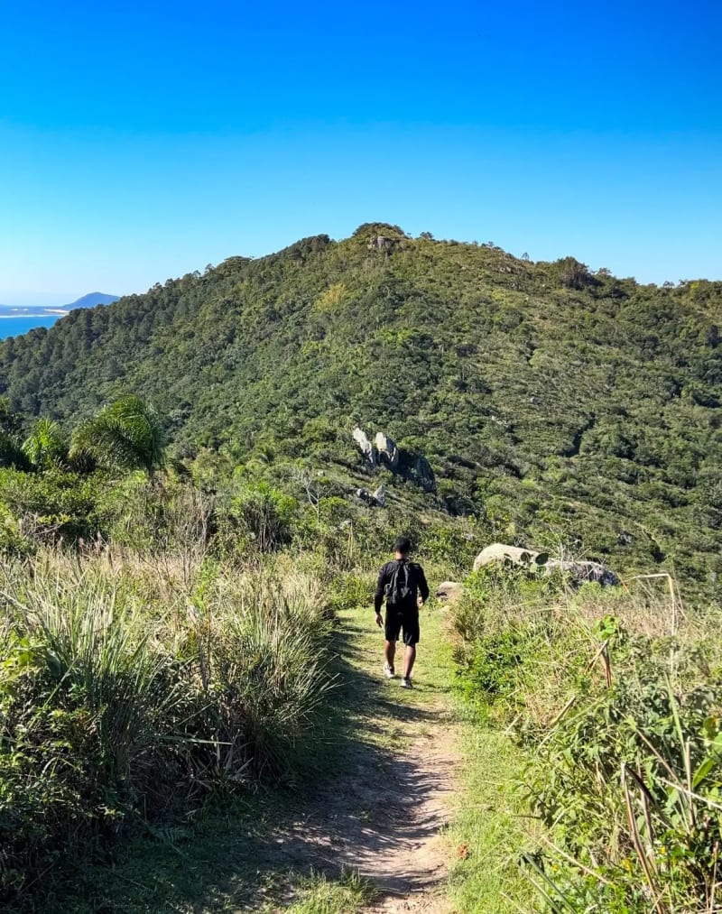
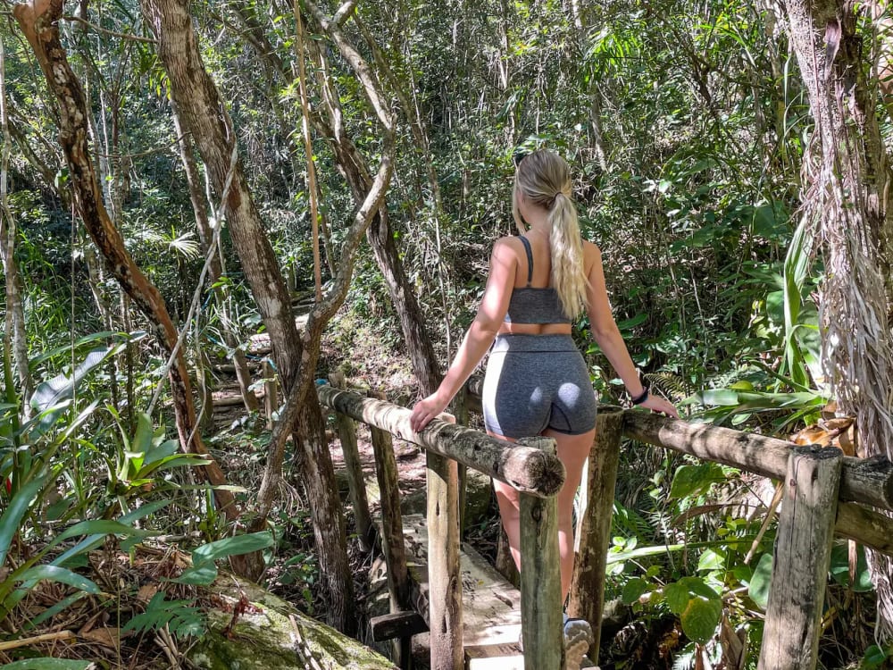
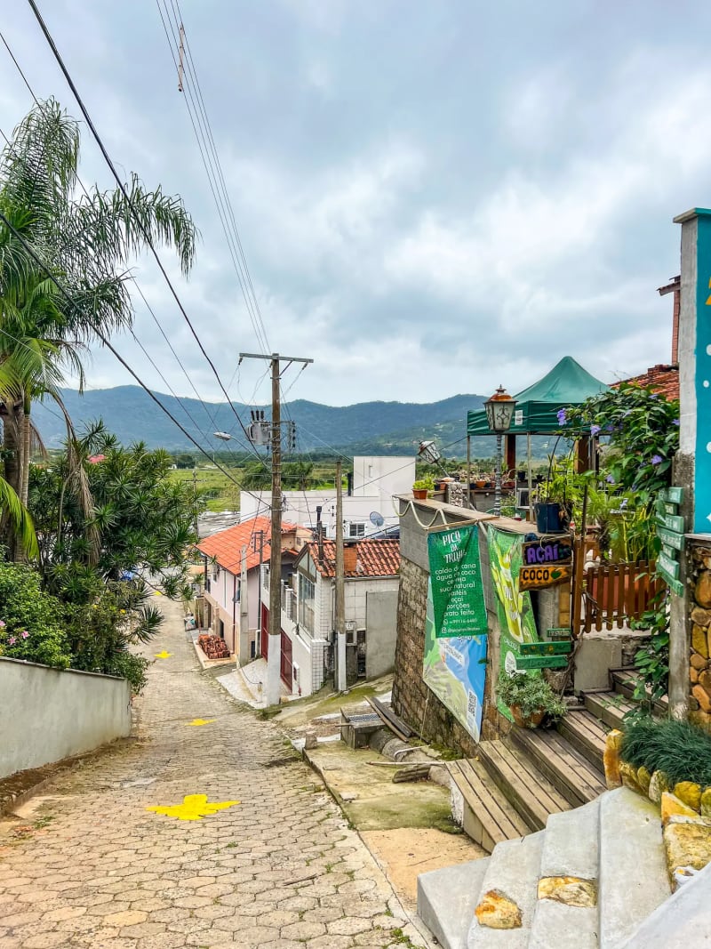
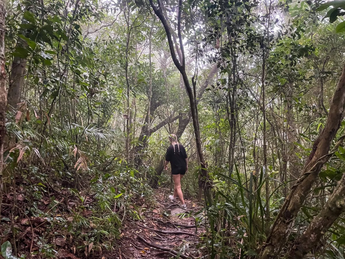
Trilha da Lagoinha do Leste
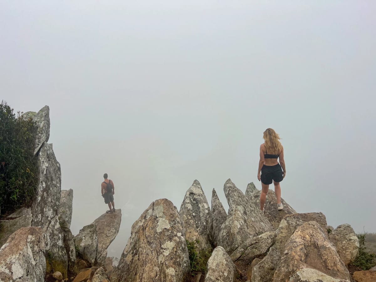
To get a clear idea of the overlook at the end of this hike: imagine a long, distant beach, flanked on either side by vibrant mountains and the vast blue ocean—all in place of the fog! This was one of the most memorable hikes I’ve ever been on, mostly because it was so chaotic and we didn’t know what we were getting into!
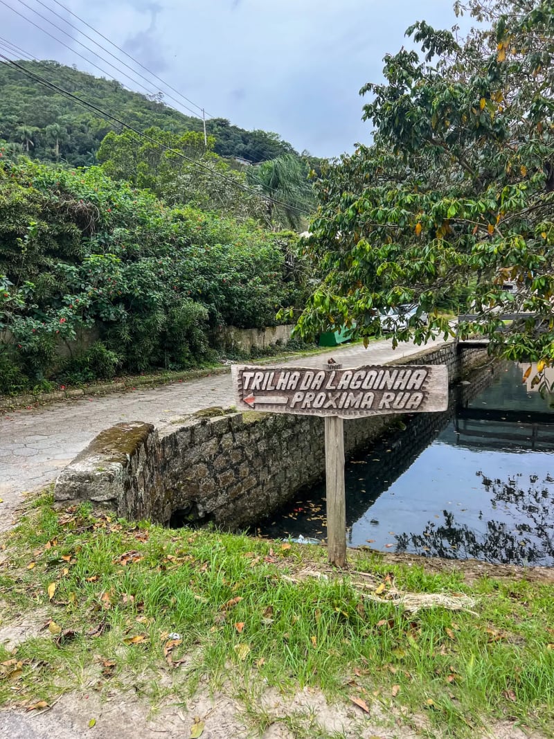
The trail begins at the top of a smaller road just off the main highway. Look for a sign along the main road reading “Trilha Lagoinha, Próxima Rua” with an arrow—this means ‘next road’ in Portuguese, but it's NOT the road directly next to the sign, it's the one after that! We thought the sign was indicating it was the immediate next road, so we walked all the way down it before a local told us it was the wrong way. The correct road is uphill, marked with large yellow arrows.
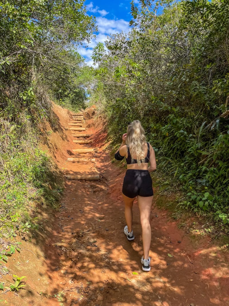
We did check the weather before going (I swear!), and it said it wasn’t supposed to rain—only clouds, which is normal for shoulder season—but we ended up caught in a storm while trekking through a rainforest in what felt like the middle of nowhere. That said, the rain honestly made it 10x more fun because it was raining in a rainforest - come on, doesn’t that sound freaking cool? The pitter-patter of the rain dropping onto the large, tropical leaves, chirping birds, and light wind blowing the scent of petrichor up my nose took me out of reality, like I got transported into Twilight—I wanted to stay in there forever!
It's a pretty tough hike as there isn’t much of a path for a while in the jungle—mostly scrambling over tree roots and rocks—but tons of people come here daily, so don’t let that deter you. Also be sure you're paying attention and following the little yellow arrows occasionally painted on rocks throughout the trail. If you're not positive you're still on the trail and haven't seen an arrow in a while, turn around and try again! There's no cell signal for most of the trail, so don't get lost.
After about 45 minutes, you’ll come to a fork in the path: downhill leads to Lagoinha do Leste Beach, while heading right takes you up Morro da Coroa to a cliffside overlook with stunning views of said beach (clearly, the view is dependent on the weather! Lol!). If you want to go down to the beach, visit the overlook first. From the fork, it takes another ~45 minutes to the overlook, bringing the total hiking time to about 1.5 hours one way. It can get super slippery in rain, so be careful and come prepared with the right shoes. Avoid the edge of the rocks at the overlook if it is wet/slippery!!
Something super unique? You might just get abducted by aliens while you're up there! Okay, probably not really, but locals talk about UFO sightings and mysterious disappearances around Morro da Coroa. These ideas likely stem from Brazil's wild UFO history, like the 1977 Operation Prato where the military investigated glowing objects attacking people in the Amazon, fueling national legends. More recently, social media buzzed with warnings about hikers vanishing without a trace in Morro da Coroa's foggy hills (not proven), and pilots have reported strange lights over Florianópolis and Santa Catarina airspace, adding to the eerie vibe at this spot!
I vlogged the trip, and that video is below.
I hope this post helps with your hiking adventures on the gorgeous island of Florianópolis! Whether you're searching for aliens at panoramic overlooks, embracing ancient stones at sunrise, or heading for a swim at a hidden beach, you will have so much fun. For more inspiration on the best beaches and top things to do in Floripa, check out my other guides linked below!
- Safest Place to Stay in Brazil: FULL Guide to Florianópolis
- Top 4 Beaches in Florianópolis, Brazil: Santa Catarina Island
🌧️🌳 Grab your sneakers, check the weather (twice), and head out to the trails—safe travels!